Current Weather @ 11:51 PM Clear skies Temp 50.1º Humidity 52% Winds ESE 0.0mph Max Gust 15.0mph
Todays Extremes High 74.4º Low 46.5º Rain 0.00" Rain Rate 0.000" per hr Snow 0.00" Season 55"
ALERTS (click alert for more info)
None at this time
Welcome
Username:

Password:


Remember me

[ ]
[ ]
SUPPORT SCM!
Support SCM by making a single or recurring donation.


ROADS AND TRAFFIC
Updated: 11:00 PM v2.5
Run Spr to Highland  (330): 20 mins  
Highland to Run Spr  (330): 19 mins  
Big Bear to Run Spr    (18): 21 mins  
Run Spr to Big Bear    (18): 21 mins  
Big Bear to Redlands  (38): 65 mins  
Redlands to Big Bear  (38): 65 mins  
Big Bear to Lucerne    (18): 34 mins  
Lucerne to Big Bear    (18): 36 mins  
=Light  =Moderate  =Heavy Traffic
Road Conditions Page: Click Here
Online
Guests: 191, Members: 4 ...
bluemeadow
TamUhRuh

most ever online: 3772
(Members: 27, Guests: 3745) on Feb 26 23: 07:51am

Members: 9393
Newest member: Nea
Member's Birthdays:
Happy Birthday to:

Birthday Cake
snowball
nb2gvl
spot


Upcoming Birthdays:
Jul 27 Kelleys Korner
Jul 27 lunchlady
Jul 27 newbee
Jul 27 Mt View
Jul 28 mntnona
Jul 28 Sampsonshreds
Incident Satellite Map


NO MAP IS AVAILABLE NOT ENOUGH INFORMATION

SAT JUL 26, 2025, 1:55 PM
TRAFFIC ACCIDENT
LAKE ARROWHEAD
DALEY CANYON RD at HIGHWAY 189
2:58PM [34] 101-10 LINE 29 IS A MATCH // TRANS TO MOUNTAIN COMMUNITY FOR POSSIBLE MEDICAL // NO VISUAL INJURIES F/ TRAFFIC COLLISION
2:17PM [25] [ROTATION REQUEST COMMENT] MESSAGE DELIVERED TO DONS TOW ---------------- 909-867-2501 [SHARED]
2:00PM [23] [NOTIFICATION] [CHP]-SBSO ADVISE DPT HAS VISUAL OF FIRE ON SCENE [SHARED]
1:57PM [21] *** TRANSFERRED FIRE AS OF 1354 [SHARED]
1:57PM [20] COMM CENTER LINE 17 BUSY TONE -- PARTY DISCONNECT / MESSAGE DELIVERED TO COMM CENTER CPYS ALL [SHARED]
1:54PM [12] PER FIRE AT HAIR PIN TURN
1:54PM [10] VEHICLE PINNED UP AGAINST A SIGN // VEHICLE STILL MOVING
1:53PM [8] EYES CLOSED / PARTY BREATHING
1:53PM [4] VEHICLE CRASHED FOOT ON GAS

UNITS RESPONDING: CHP (CHP)
NOTES:
TRAFFIC ACCIDENT FIRE DEPARTMENT IS ENROUTE COLLISION-1141 EN ROUTE DALEY CANYON ROAD / HIGHWAY 189
(SOCALMOUNTAINS.COM CAD v13.1)


PHOTOS & MAPS:  

missing
Incident Street View
missing
Incident Satellite Map


INCIDENT UPDATES: 0   


SCANNER AUDIO IS NOT AVAILABLE FROM THIS HOUR


Chatbox
You must be logged in to post comments on this site - please either log in or if you are not registered click here to signup


SCM ALERT🚨
31 minute(s) ago
[UPDATE]
FIRE TYPE UNKNOWN in BIG BEAR LAKE
Big Bear Fire On Scene. Legal Propane Cooking Fire. CANCEL Response.
DETAILS: [Click Here]

SCM ALERT🚨
33 minute(s) ago
[INCIDENT DISPATCH]
FU /UNKNOWN TYPE FIRE IN BIG BEAR LAKE - BIG BEAR MHP / ALDEN RD BIG BEAR LAKE CITY
DETAILS: [Click Here]

Jilly
2 hour(s) ago
We could just barely see the 9:31 rocket from south OC. Not the best viewing.

⚡WX ALERT⚡
3 hour(s) ago
They're second launch from Vanderberger today too! We're still on for 9:31 PM. 10 minutes!

holeinbow
3 hour(s) ago
My bad, Wednesday launch is 839 AM, not pm.

holeinbow
3 hour(s) ago
Wednesday 839 pm, as always subject to change...

holeinbow
3 hour(s) ago
Next shot at a visible plume will be Wednesday right about 830, check Vandenberg launch schedule, Google it up it's easy to find...

doo·hick·ey
3 hour(s) ago
Cool moon tho
[Click Here]

⚡WX ALERT⚡
3 hour(s) ago
UPDATE: Due to a launch delay, this post is no longer accurate. There will be NO chance for a twilight effect for this launch attempt. Launch pushed back 35 minutes.

SCM ALERT🚨
4 hour(s) ago
Per CHP: HIGHWAY 38 will REOPEN around 8:30pm this evening.
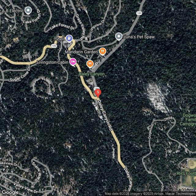
SCM ALERT🚨
5 hour(s) ago
[INCIDENT DISPATCH]
FCL-STRUCTURE /COMMERCIAL FIRE: LOW RESPONSE IN BIG BEAR LAKE - COTTAGE LN BIG BEAR LAKE CITY
DETAILS: [Click Here]

SCM ALERT🚨
6 hour(s) ago
[INCIDENT DISPATCH]
ASLT /ASSAULT IN BIG BEAR LAKE - COUGAR RD BIG BEAR LAKE CITY
DETAILS: [Click Here]

McToddy
7 hour(s) ago
Here's a pic I got of the the launch (same time of day) last Friday here in Santa Monica ...
[Click Here]

You guys should get a good back-lighting of the plume tonight.

Marine layer has been building up here in SM, so im probably going to get skunked tonight

KK
7 hour(s) ago
Sorry Dave. I hate when that happens.

SCM ALERT🚨
8 hour(s) ago
ROAD ALERT
Highway 18 Lucurne - Traffic Accident at 18 near Mitsubishi plant. Reported injuries. Reported boat rollover and a fuel leak. Both lanes blocked. EXPECT MAJOR DELAYS
SCM Incident: [Click Here]


Latest Forum Posts
Posted by SCM ALERT🚨 in NEWS
@SBCOUNTYFIRENEEDLES (Final): Forward rate of spread has been stopped at approxi (Jul 26 25: 11:34pm)

Posted by SCM ALERT🚨 in NEWS
@CALFIREBDU:Fire has been mapped at 8.2 acres. (Jul 26 25: 11:12pm)

Posted by SCM ALERT🚨 in NEWS
@CALFIREBDU:Forward rate of spread has been stopped. Resources will remain at sc (Jul 26 25: 10:47pm)

Posted by SCM ALERT🚨 in NEWS
@SBCOUNTYFIRE@CALFIREBDU #SBCoFD committed with five engine companies, a water t (Jul 26 25: 10:14pm)

Posted by SCM ALERT🚨 in NEWS
@CALFIREBDU:#SmithFire @ALERTCalifornia Mountain High East Cam https://t.co/Gi1w (Jul 26 25: 10:03pm)

Posted by SCM ALERT🚨 in NEWS
@CALFIREBDU:#SmithFire now in Unified Command with @SBCOUNTYFIRE - IC reporting (Jul 26 25: 10:03pm)

Posted by SCM ALERT🚨 in NEWS
@CALFIREBDU:#SmithFire is now 3-5 acres, winds from south, structure threat miti (Jul 26 25: 09:47pm)

Posted by SCM ALERT🚨 in NEWS
@SBCOUNTYFIRE#SBCoFD resources assisting. https://t.co/1zkOLzs5wq (Jul 26 25: 09:24pm)


(C)2002-2025 Socalmountains.com
All Rights Reserved
Privacy Policy Terms of Service
Contact Us

{THEMEDISCLAIMER}