Current Weather @ 9:16 PM Clear skies Temp 67.8º Humidity 29% Winds W 0.0mph Max Gust 17.3mph
Todays Extremes High 84.7º Low 65.5º Rain 0.00" Rain Rate 0.000" per hr Snow 0.00" Season 55"
ALERTS (click alert for more info)
None at this time
Welcome
Username:

Password:


Remember me

[ ]
[ ]
SUPPORT SCM!
Support SCM by making a single or recurring donation.


ROADS AND TRAFFIC
Updated: 09:00 PM v2.5
Run Spr to Highland  (330): 21 mins  
Highland to Run Spr  (330): 21 mins  
Big Bear to Run Spr    (18): 22 mins  
Run Spr to Big Bear    (18): 22 mins  
Big Bear to Redlands  (38): 69 mins  
Redlands to Big Bear  (38): 68 mins  
Big Bear to Lucerne    (18): 36 mins  
Lucerne to Big Bear    (18): 37 mins  
=Light  =Moderate  =Heavy Traffic
Road Conditions Page: Click Here
Online
Guests: 239, Members: 12 ...
Chrissy
Tman
Fishfarm4
Polar 🌌rbit
CHECK-SIX
Metcalf Man
bobosir
Jennyro
mountainart
Skier

most ever online: 3772
(Members: 27, Guests: 3745) on Feb 26 23: 07:51am

Members: 9405
Newest member: Sugarloafjp
Member's Birthdays:
No birthdays today

Upcoming Birthdays:
Aug 09 eric
Aug 09 Mtngoat John⭐
Aug 10 BBLDarkStar
Aug 11 RosieRena
Aug 11 RustyShakleford
Aug 13 mbear
Incident Satellite Map


NO MAP IS AVAILABLE NOT ENOUGH INFORMATION

FRI AUG 8, 2025, 4:55 PM
TRAFFIC HAZARD
RUNNING SPRINGS
7292-7545 HIGHWAY 330
4:53PM [9] POSSIBLE TRAFFIC HAZARD
4:53PM [8] [NOTIFICATION] [CHP]-PROBLEM CHANGED FROM 1126-DISABLED VEHICLE OCCUPIED TO TRAFFIC HAZARD-TRAFFIC HAZARD BY CHP

UNITS RESPONDING: CHP (CHP)
NOTES:
TRAFFIC HAZARD-TRAFFIC HAZARD 7292-7545 HIGHWAY 330
WEATHER AT INCIDENT LOCATION: 90 DEGREES WITH 18% HUMIDITY. WINDS W AT 10 MPH. PRECIP: NONE
(SOCALMOUNTAINS.COM CAD v13.1)


PHOTOS & MAPS:  

SCM Incident Map
Incident Street View
SCM Incident Map
Incident Satellite Map


INCIDENT UPDATES: 0   


SCANNER AUDIO IS NOT AVAILABLE FROM THIS HOUR


Chatbox
You must be logged in to post comments on this site - please either log in or if you are not registered click here to signup


Jennyro
8 minute(s) ago
Power back on! Thank you BVES!

Walkermuggz
13 minute(s) ago
I guess it could now could be, a shocking blue heron? 👀

BillyJean
17 minute(s) ago
I didn't know fish could fly!
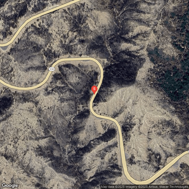
mettmann
39 minute(s) ago
Blue Herring crossed powerlines at Eagle Point -

Polar 🌌rbit
1 hour(s) ago
At least we get a full moon tonight. Won't be totally pitch black.

MtnGrumpy
1 hour(s) ago
BVES is looking at the cause of the outage

Fishfarm4
1 hour(s) ago
power out eagle point

Jennyro
1 hour(s) ago
Electric out on bbl by Carl’s Jr. anyone else?

SCM ALERT🚨
4 hour(s) ago
[UPDATE]
GOLD FIRE in BIG BEAR
The Gold Fire Remains At 1079 Acres But Is Now 35% Contained!
DETAILS: [Click Here]

Trua
5 hour(s) ago
Ah. Good to know. Thanks!

Trail Rider
5 hour(s) ago
Hand line...typo

Trail Rider
5 hour(s) ago
The black H is completed hand line, purple is planned handling as I recall...

Trail Rider
5 hour(s) ago
Trua, I think that means Hand Line

Trail Rider
5 hour(s) ago
I was looking at the map yesterday and glad to see Burnt Flat was not in the fire. Years ago you could drive down there and pick apples. Was a little pond there too. Was a pretty spot.

Trua
5 hour(s) ago
I was under the impression that on a burn map like this, the black "H-H-H-H-H" line was considered "containment". Am I mistaken? Seems like it's more like 50% contained, not 15% if that's the case.


Latest Forum Posts
Posted by SCM ALERT🚨 in NEWS
@SBCOUNTYFIREMULTI-COMPANY DRILLS HIGHLIGHT ONGOING FIREFIGHTER TRAININGRecently (Aug 08 25: 02:39pm)

Posted by SCM ALERT🚨 in NEWS
@CALFIREBDU:RT @SanBernardinoNF: #Gold Fire Morning Quick Facts Date: August 8, (Aug 08 25: 01:52pm)

Posted by SCM ALERT🚨 in ROAD CONDITIONS
CALTRANS UPDATE: SBCO: Pavement and safety upgrades on SR-18 in Victorville and (Aug 08 25: 12:04pm)

Posted by SCM ALERT🚨 in NEWS
From the San Bernardino National Forest: **Correction**https://t.co/ 2fefv6vWZQA (Aug 08 25: 11:59am)

Posted by SCM ALERT🚨 in BENSWEATHER REAL-TIME UPDATES
@BensWeather:RT @MatthewCappucci: The Perseids are becoming more active! The met (Aug 08 25: 10:04am)

Posted by SCM ALERT🚨 in NEWS
@CALFIREBDU:#MacyFire Forward Progress Stopped at 1/2 acre. @SBCOUNTYFIRE (Aug 08 25: 05:17am)

Posted by SCM ALERT🚨 in NEWS
@CALFIREBDU:[New Incident] Vegetation Fire- North Macy Street x West Highland Av (Aug 08 25: 05:12am)

Posted by SCM ALERT🚨 in NEWS
@SBCOUNTYFIREFINAL: #SBCoFD crews still assisting @CALFIRERRU with mop up on the (Aug 08 25: 04:39am)


(C)2002-2025 Socalmountains.com
All Rights Reserved
Privacy Policy Terms of Service
Contact Us

{THEMEDISCLAIMER}